How Drone Surveys Are Revolutionising Property Measurement
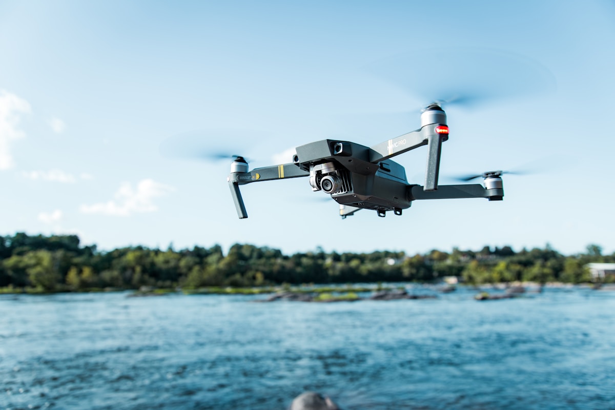
Drone technology is transforming how we survey buildings and land across the UK. Unmanned Aerial Vehicles (UAVs) equipped with high-resolution cameras and LiDAR sensors provide safe, fast, and cost-effective aerial data capture that was impossible just years ago. From roof inspections to large site mapping, drone surveys deliver exceptional results.
This guide explores how drone surveys work, their benefits for property owners and developers, typical applications, costs, and how they complement traditional surveying methods to deliver comprehensive project data.
What Are Drone Surveys?
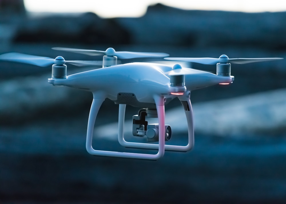
Drone surveys use remotely piloted aircraft equipped with cameras, sensors, and positioning systems to capture aerial imagery and data of buildings, sites, and land. Professional surveying drones create accurate measurements, detailed photographs, 3D models, and thermal imagery from above.
Types of Drone Survey Technology
RGB Photography: High-resolution cameras capture detailed colour imagery processed into orthophotos (geometrically corrected aerial photographs) and 3D models.
LiDAR Sensors: Laser scanning systems on drones capture millions of 3D points similar to terrestrial laser scanning but from aerial perspectives.
Thermal Imaging: Infrared cameras detect heat signatures useful for building inspections, finding heat loss, moisture problems, and electrical faults.
Multispectral Sensors: Specialized cameras capturing different wavelengths useful for vegetation analysis, environmental monitoring, and agricultural surveys.

Key Benefits of Drone Surveys
1. Safe Access to Difficult Areas
Drones access dangerous or difficult locations without risk to surveyors. Tall buildings, steep roofs, unstable structures, hazardous sites, and hard-to-reach areas become safely surveyable from above.
Traditional roof inspections require scaffolding, cherry pickers, or rope access - expensive, time-consuming, and potentially dangerous. Drones inspect roofs thoroughly in minutes without anyone climbing heights.
2. Comprehensive Data Capture
Aerial perspectives reveal details invisible from ground level. Roof conditions, building tops, site layouts, drainage patterns, and surrounding context all documented thoroughly. High-resolution imagery captures every detail for analysis.
3. Speed and Efficiency
Drone surveys capture large areas rapidly. A site requiring days of traditional surveying can be photographed in hours. Building exteriors surveyed in minutes rather than hours or days with conventional methods.
Quick deployment means minimal disruption to building occupants or site operations. Surveys often completed without anyone noticing.
4. Cost-Effectiveness
Eliminating scaffolding, access equipment, and extensive manual work reduces costs substantially. Drone surveys typically cost 50-70% less than traditional access methods for roof inspections and building exteriors.
For large sites, drones survey areas much faster than ground-based methods, reducing overall survey time and costs.
5. Accurate Measurements
Professional surveying drones equipped with RTK (Real-Time Kinematic) GPS achieve centimeter-level accuracy. Photogrammetry processing creates accurate 3D models suitable for measurement extraction.
While not matching terrestrial laser scanning precision for detailed architectural work, drone data provides sufficient accuracy for many applications including site planning, roof measurements, and volume calculations.
6. Stunning Visual Documentation
High-resolution aerial photography and video provide compelling visual records. Useful for marketing, insurance documentation, pre-construction condition records, and stakeholder presentations.
Common Drone Survey Applications
Roof Inspections and Surveys
The most popular drone application. Inspect roofs thoroughly without scaffolding or climbing. Identify damage, wear, leaks, structural issues, and maintenance needs. Perfect for:
- Pre-purchase property inspections
- Insurance assessments after storms
- Maintenance planning for commercial buildings
- Solar panel installation feasibility
- Heritage building conservation
Large Site Mapping and Topographical Surveys
Drones excel at surveying large open sites. Capture entire sites quickly, create topographical maps with contours and levels, and measure areas and volumes. Ideal for:
- Construction sites and developments
- Quarries and mining operations
- Agricultural land
- Infrastructure projects
- Environmental monitoring
Building Exterior Surveys
Document building facades, windows, cladding, and architectural features. Useful for refurbishment planning, facade maintenance, planning applications, and as-built records.
Construction Progress Monitoring
Regular drone flights document construction progress, creating time-lapse sequences showing development. Compare actual progress against schedules, identify issues early, and communicate progress to stakeholders.
Volumetric Calculations
Calculate stockpile volumes, cut and fill quantities, and material inventories. Essential for quarries, construction sites, waste management, and civil engineering projects.
Thermal Inspections
Thermal cameras identify heat loss, insulation deficiencies, moisture ingress, electrical faults, and mechanical problems. Building surveys, energy audits, and maintenance planning benefit from thermal data.
Heritage and Conservation
Document historic buildings comprehensively without physical contact. Create detailed records for conservation, monitor condition over time, and plan sensitive restoration work.

Drone Survey Deliverables
Professional drone surveys provide various outputs depending on requirements:
Standard Deliverables
- High-Resolution Photos: Individual images of site or building
- Orthophotos: Geometrically corrected aerial photographs suitable for measurement
- Video Footage: Smooth aerial video documenting site or building
- Inspection Report: Annotated imagery identifying issues and concerns
Advanced Deliverables
- 3D Models: Textured 3D models for visualization and measurement
- Topographical Maps: CAD drawings with contours and spot levels
- Point Clouds: 3D point data from photogrammetry or LiDAR
- Volume Reports: Stockpile volumes and earthworks calculations
- Thermal Maps: Heat loss identification and analysis
Drone Survey Costs
Pricing varies based on site size, location, deliverables, and complexity:
Typical UK Prices (2024)
- Basic Roof Inspection: £200-£400 (photos and basic report)
- Detailed Building Survey: £400-£800 (comprehensive imagery and 3D model)
- Small Site (under 5 hectares): £500-£1,200
- Medium Site (5-20 hectares): £1,200-£3,000
- Large Site (20+ hectares): £3,000-£8,000+
- Thermal Inspection: £400-£800 (additional premium)
Cost Factors
- Site or building size
- Location and travel time
- Flight permissions required
- Detail level and deliverables
- Processing requirements
- Urgency and turnaround
UK Drone Regulations
Professional drone operations in the UK are strictly regulated by the Civil Aviation Authority (CAA):
Operator Requirements
Commercial drone pilots need:
- CAA-approved operator registration
- Pilot competency certificates
- Appropriate insurance coverage
- Operations manual and risk assessments
- Flight permissions for controlled airspace
Flight Restrictions
Drones cannot fly:
- Within controlled airspace without permission
- Near airports or aerodromes
- Over crowds or congested areas
- Beyond visual line of sight (without special permission)
- Above 400 feet (120 meters)
Always use CAA-certified professional operators who understand regulations and obtain necessary permissions.
Combining Drones with Other Survey Methods
Drone surveys complement rather than replace traditional methods. Optimal results often come from combining approaches:
Drones + Terrestrial Laser Scanning
Drones capture roofs and exteriors while terrestrial scanners document interiors and ground-level details. Together they create complete building records.
Drones + Traditional Surveying
Ground-based total station or GPS surveys provide control points and ground-level accuracy. Drones efficiently capture large areas between control points.
Drones + Measured Building Surveys
Combine detailed internal measured surveys with comprehensive external drone documentation for complete property records.
Choosing Drone Survey Providers
Select qualified professionals for safe, legal, quality results:
Essential Qualifications
- CAA operator approval
- Pilot competency certificates
- Insurance coverage (minimum £1 million public liability)
- Professional-grade equipment
- Experience with similar projects
Questions to Ask
- Are you CAA-approved?
- Can you provide proof of insurance?
- What equipment do you use?
- What deliverables are included?
- Do you handle flight permissions?
- What accuracy can you achieve?
Limitations of Drone Surveys
While powerful, drones have limitations to understand:
Weather Dependent
Strong winds, rain, or fog prevent safe flying. Surveys may require rescheduling due to weather.
Cannot See Inside
Drones only capture external visible surfaces. Interior surveys still require traditional methods.
Accuracy Limitations
While adequate for many purposes, drone accuracy typically ±50-100mm, less precise than terrestrial laser scanning (±2-5mm).
Regulatory Restrictions
Some locations prohibit or restrict drone flights due to airspace restrictions, privacy concerns, or security requirements.
Privacy Considerations
Drones with cameras raise privacy concerns. Professional operators respect privacy, avoid unnecessary surveillance, and comply with GDPR requirements.
The Future of Drone Surveying
Drone technology continues advancing rapidly:
Improved Sensors
Higher resolution cameras, more accurate positioning systems, and advanced LiDAR making drone data increasingly precise.
Automated Processing
AI and machine learning automating image processing, feature recognition, and model generation reducing costs and turnaround times.
Beyond Visual Line of Sight
Regulations evolving to permit BVLOS operations, enabling larger area coverage and more efficient surveys.
Indoor Drones
Specialized drones navigating indoors safely, combining with terrestrial scanning for complete building documentation.
Conclusion: Essential Modern Surveying Tool
Drone surveys have revolutionized property measurement, providing safe access to difficult areas, rapid data capture, cost savings, and comprehensive documentation. From simple roof inspections to complex site mapping, drones deliver exceptional value.
As technology improves and regulations evolve, drones will become increasingly central to professional surveying practice. Early adopters benefit from competitive advantages, safety improvements, and cost efficiencies.
For property owners, developers, and construction professionals, understanding drone survey capabilities opens new possibilities for safer, faster, more economical project delivery.
Professional Drone Survey Services
UK Measured Survey provides CAA-approved drone survey services across London, Birmingham, Manchester, and nationwide. Our certified pilots operate professional-grade equipment, delivering high-quality aerial data for diverse applications from roof inspections to large site mapping.
Contact us today to discuss your drone survey requirements. We handle all flight permissions, ensure regulatory compliance, and deliver comprehensive results with fast turnaround times.